U.S. Virgin Islands
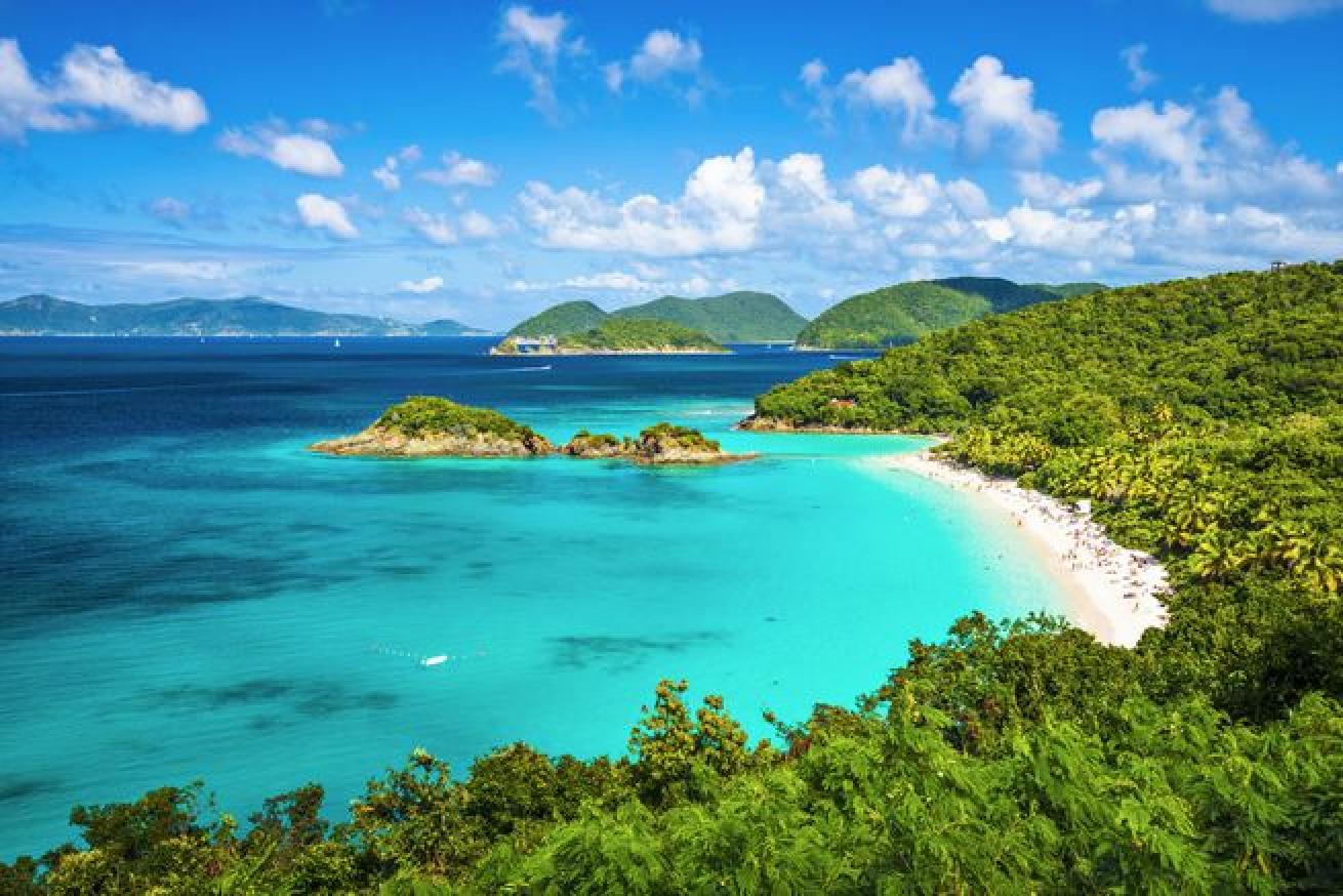
ShutterstockTrunk Bay, St John, United States Virgin Islands
St. Thomas, St. Croix and St. John are sister islands, but each has its own special character. St. Thomas is the bustling busy bee of the trio. In addition to its natural charms, St. Thomas is also a duty-free shopping mecca.
St. Croix, 40 miles south, is an island on the move. Its history of agriculture has left sugar mills and plantations to visit, and there is an ever-increasing number of heritage trails to follow.
St. John is the natural one: Two-thirds of the island is a national park.
The USVI is east of Puerto Rico in the Caribbean. St. Thomas is 75 miles/120 kilometers east of Puerto Rico and is 32 square miles/83 square kilometers. St. John is 4 miles/6.5 kilometers east of St. Thomas and 7 miles/11 kilometers west of Tortola in the British Virgin Islands.
At 212 square miles, the USVI is twice the size of Washington, D.C. St. Croix is the largest of the islands, followed by St. Thomas and St. John.
The wreck of the WIT Shoal is more than 300 feet long and sits upright in 90 feet of water, but divers can explore the wheelhouse in only 25 feet of water. The ship was a tank transport vessel in World War II and has five decks to explore. Carval Rock in St John is an advanced dive because of the strong currents and seasonal north swell, but divers can circumnavigate the entire submerged formation that features sponge- and coral-covered caverns. St. John is also home to Grass and Mingo Cays, two enormous fringing reefs that gently slope from 10 to 60 feet. Sail Rock soars 125 feet out of the water and has three pinnacles just beneath the surface that drop to 90 feet. Salt River East and West, at the mouth of Salt River Bay, are separated by a deep chasm. Salt River West is closer to shore and starts in 20 feet of water before dropping off to 90 feet. Salt River East drops vertically at the mooring line, where the dive profile starts in about 40 feet of water.
Topography: Most of the Virgin Islands (U.S. and British) were formed by volcanic activity during a series of violent underwater explosions millions of years ago. From the floor of the sea, volcanic eruptions created peaks and mountain chains that became Caribbean islands. St. Thomas and St. John have steep hills, low valleys and craggy coastlines. St. Croix is the exception. Created by conventional plate drift and folding, it is less rugged, with sloping hills and a gentle coastline.
Climate: Subtropical. Year-round average daytime temperature is about 78F/26C with easterly trade winds to help keep things comfortable. Seasonal temperatures fluctuate less than 10F/6C.
Dive Conditions: Water temps range from the high 70s in winter to mid-80s in summer. Viz averages 60 to 100 feet.
DIVE DEALS PARTNERS Caradonna Dive Adventures

